November 5, 2019
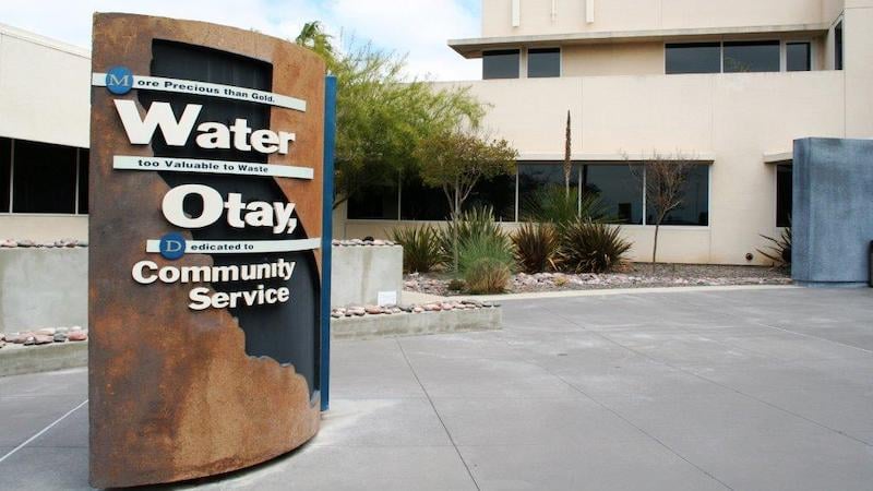 Otay Water District is a water, recycled water, and sewer service provider serving 125 square miles of southeastern San Diego County, California. Because of the size of the area in Otay’s jurisdiction and its 138-employee workforce, the water district is highly dependent on GIS to operate effectively. Accurate and up-to-date map data is imperative in the office and especially in the field, where field personnel rely on GIS for navigation, collecting asset data, inspections, and other daily tasks.
While road data was available to Otay Water District, it was insufficient. The need for a replacement was never in question. What key decision-makers struggled with, however, was finding a high-quality map data solution that was versatile enough to meet the water district’s diverse needs.
Extensive research led to TomTom MultiNet, which offers:
- Unsurpassed precise and up-to-date datasets
- Highly accurate geocoding match rates
- A seamless street network with names, classes, ramp restrictions, toll information, exit signage, and more
- Turn-by-turn coverage including 150 attributes such as one-ways, restricted turns, construction areas, and overpasses
- Cutting edge in-office and in-field technologies that constantly upgrade and add data
Upon implementation, Otay Water District officials immediately recognized that, as the power behind their GIS applications, TomTom MultiNet makes the district more responsive. Further, the switch helps them carry out their mission of “providing exceptional service to customers … and managing resources in a transparent and fiscally responsible manner.”
From an operational standpoint, Otay Water District GIS Analyst Leonel Torres readily acknowledges the practicalities of TomTom MultiNet. He explains, “We have integrated TomTom MultiNet into our GIS applications. We use it for navigation and routing as well as geocoding. Having up-to-date, accurate map data has allowed us to be more efficient overall, especially since it saves field personnel time and allows them to be more productive.”
Want to learn more about TomTom MultiNet? Contact ADCi to find out the benefits of this comprehensive map data solution.


What You Need to Know Before Licensing Historical Traffic Data

TomTom Navigates Changes to Traffic Data in the Age of COVID-19