September 1, 2020
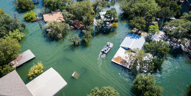
 Climate change is a debated topic, but evidence is swaying the argument toward the reality of its existence — and that it’s happening at an alarming rate. The National Aeronautics and Space Administration (NASA) routinely compiles data about planet Earth. In addition to record-high atmospheric greenhouse gases and carbon dioxide, NASA officials point to proof of a rise in global temperatures, warming oceans, shrinking ice sheets/glaciers, extreme weather events, and rising sea levels.1
The warning signs of climate change are more than bellwethers of heightened ecological crisis. They serve as important indicators of where and how property developers and retailers need to account for and mitigate the impact of changing geographies on building sites and structures. As a result, many of these professionals are turning to geodesign to supplement science with map data for answers and solutions.
Geodesign and the Science of Data
Adjusting and adapting to geographic conditions is simply human nature. Evaluating those same conditions in terms of building design, traffic patterns, intended use, resource depletion, and potential ecological impact is the basis of geodesign.
Geodesign is the technology that underpins property selection, design, and development. It enables property developers to add an analytical lens to their work, meaning having accurate GIS data to understand geospatial modeling as it relates to the challenges and possibilities of their design.
Further, geodesign brings geographic risk into narrow focus. Instead of presuming some of the beachfront property proposed for a project will erode over time because that’s scientific fact, GIS data gleaned from geodesign methodology provides detailed projections. The guesswork is gone, replaced by the actual data-based work of calculating hazards and risk.
Geodesign and Infrastructure
As granular as geodesign can be as it relates to a specific project, it also gives property developers and retailers a broader view of what an influx of human activity could mean to resources like water and energy. There’s also roads, traffic patterns, and the health of structures like bridges and byways to consider. Is the current network sufficient, or does the data project need changes?
Considering these impacts from scientific, environmental, and GIS data-driven perspectives means the ability to plan solutions around infrastructure vulnerabilities — before they upend design or, worse, the complexities of urban development.2
Geodesign isn’t only valuable in preserving infrastructure. It has been called upon to reconstruct and fix it. Notable examples include rebuilding Fukushima, Japan, after the devastating 2011 tsunami; reshaping the shoreline of the southeastern United States ravaged by climate changes; and constructing basic infrastructures in emerging countries and communities.3
As the world grapples with climate change and its many ramifications, the lines blur between science and technology. Geodesign is proving to be a gateway to better, more accurate, science- and GIS data-based solutions for developing a more practical and sustainable future. Learn more innovative ways GIS data helps industries make better decisions in our guide, 7 Surprising Use Cases for GIS in 2020. Click the button below to download your copy now.
SOURCES
1NASA, Climate Change: How Do We Know?, Undated
2Science Direct, A Geodesign Method of Human-Energy-Water Interactive Systems for Urban Infrastructure Design: 10KM2 Near-Zero District Project in Shanghai, Undated
3IGC, IGC Overview | Int Geodesign Collab, Undated

5 Ways Large Property Developers Use Map Data to Evaluate Sites

How Augmented Reality and Building Information Modeling Benefits AEC Professionals